



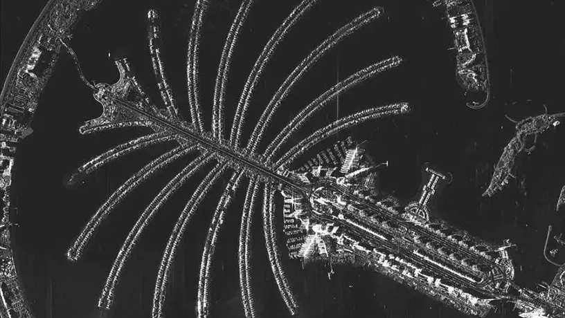
UAE Releases Historic Satellite Imagery from New Advanced Satellites
The Mohammed bin Rashid Space Centre (MBRSC) has released the first set of images from its newest Earth observation satellites, MBZ-SAT and Etihad-SAT. The release, timed with World Space Week 2025, marks a significant milestone in the UAE’s growing capabilities in satellite imaging and Earth monitoring.
MBZ-SAT, launched in January 2025 and named after the UAE President, His Highness Sheikh Mohamed bin Zayed Al Nahyan, is the most advanced optical observation satellite in the region. Its companion, Etihad-SAT, launched in March 2025, is the Centre’s first satellite equipped with a Synthetic Aperture Radar (SAR). This radar technology allows it to capture data day and night, regardless of cloud cover or weather conditions. Together, this pair provides a reliable stream of high-precision data crucial for disaster management, smart agriculture, and infrastructure development.
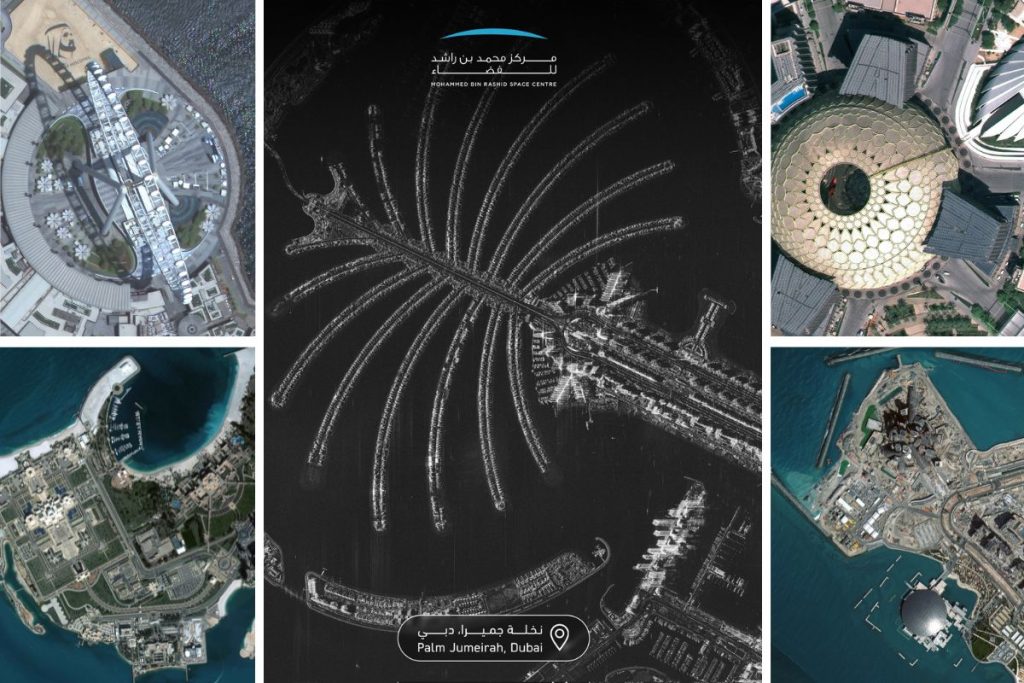
Weighing 750 kg and measuring 3 by 5 meters, MBZ-SAT was developed by Emirati engineers, with 90% of its mechanical structures manufactured locally. It features one of the highest-resolution cameras in the region, capable of capturing images with twice the precision of its predecessors. The satellite also boasts an electric propulsion system, high-precision star navigation, and a data transmission speed four times faster than previous generations, enabling it to deliver images within two hours of capture.
Meanwhile, Etihad-SAT uses radar imaging to gather high-resolution data under any atmospheric condition. It operates in three imaging modes—spotlight, scan, and strip—enabling detailed monitoring on a wide scale for applications such as maritime navigation, oil spill detection, and farming. This dual-satellite system firmly establishes the UAE as a leading force in space technology and environmental monitoring.
Source: ArabianBusiness